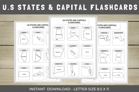
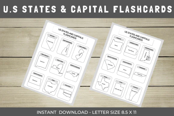
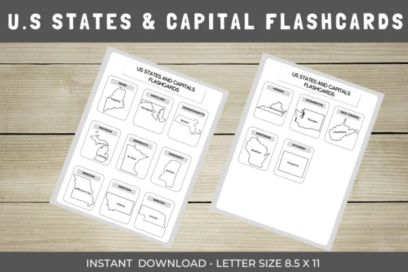
Make U.S. geography learning more engaging and easier to remember with these US States Maps and Capitals Flashcards. This printable educational set is designed to help students learn the regions of the United States, state names, capitals, and maps in a clear and interactive way.
Each card includes a visual map of a U.S. region along with the state names and capitals, giving learners a practical way to build geography knowledge through visual study and repeated review. This set is ideal for classroom geography lessons, homeschool activities, quizzes, review sessions, learning centers, and independent study at home.
What’s Included:
Perfect For:
Key Features:
Ways to Use:
Usage Terms:
This set is sold for personal use only. You may print it as many times as you wish for personal learning or gifting, but commercial use is forbidden, including resale on Etsy or any other marketplace.
These US States Maps and Capitals Flashcards are a practical and engaging printable resource for helping students strengthen their understanding of U.S. geography while learning states, capitals, and regional maps in a more interactive way.
Published:
Apr 16, 2026 08:15 AM
Category:
Tags: